
Some Baytown neighborhoods are closer to the water than they were when the first houses went up. The reason is subsidence: the land sank. For decades, the region pumped huge amounts of groundwater for industry and drinking water, and as the water came out of the ground, the clay layers underneath compacted. Around Baytown, near the bay, the land dropped several feet. The clearest example is a neighborhood that's no longer there.
Brownwood: The Neighborhood That Became a Marsh
Brownwood was a subdivision on Scott's Bay, on land that had once been part of the Wooster community. As the land sank, the bay crept in:
- Streets and yards flooded in storms that once wouldn't have reached them.
- Hurricane Carla in 1961 pushed surge deep into the neighborhood.
- By the time Hurricane Alicia arrived in 1983, the land had sunk roughly ten feet, and Alicia destroyed nearly all of the remaining homes.
The land was bought out, and most of it became the Baytown Nature Center. Old slabs and street remnants still show through the marsh grass. Next door, the Lakewood subdivision remains.
What Subsidence Changes for a House
| Change | What it means |
|---|---|
| Lower ground near the bay | Surge reaches farther inland than it used to |
| Flatter drainage | Rain and bayou water drain more slowly |
| Older flood expectations | Homes built for the land as it was may now sit closer to flood levels |
| Uneven settling | Slabs and pipes under them can be stressed over time |
Is It Still Happening?
Around Baytown, subsidence slowed sharply once the region moved from groundwater to surface water. That decision came out of the creation of a regional subsidence district. The land that already sank didn't come back, though. Today's flood maps and elevations reflect the ground as it is now.
What You Can Do With This
If you live near the bay or a bayou in an older neighborhood:
- find your home's elevation and flood zone on FEMA's Flood Map Service Center
- learn whether flood insurance is required, and whether it's worth carrying anyway
- know which way water comes from in your street: the bay, a bayou or the drains
- keep photos of the house and belongings somewhere off-site
If outside water does reach the house, the cleanup is a flood cleanup: wet materials out, clean, dry with readings. See flood and storm surge cleanup.
Visiting the Nature Center
Today the Baytown Nature Center covers most of the old Brownwood peninsula. Walking it, you can still see what's left: concrete slabs, driveway edges and street outlines in the marsh grass, a short distance from where houses stood. It's one of the clearest places on the Gulf Coast to see what subsidence and surge can do over a few decades. It's also a reminder that the shoreline around Baytown has moved inland within living memory.
Older Neighborhoods Near the Bay
The parts of Baytown that sank most were the older ones nearest the water, settled in the oil-boom years when nobody was measuring the ground. If your house is in one of those areas, its original builder may have expected the bay to stay farther away than it has. That's worth knowing for insurance, and for deciding what to store low in a garage or on the ground floor during storm season.
Questions
Why did Brownwood flood so badly?
The land sank about ten feet from groundwater pumping, so hurricanes like Carla and Alicia reached homes that had once been well above the bay.
Is Baytown still sinking?
Much less than before. The switch from groundwater to surface water slowed subsidence sharply, but the ground that already sank stayed low.
Does subsidence affect my flood insurance?
Indirectly. Flood maps and elevations reflect the ground as it is now, and those drive flood risk ratings.
Low Ground Around Baytown
Subsidence history matters most near the bay in Lakewood and Old Baytown. Raising a house is one response: raised homes after a flood.
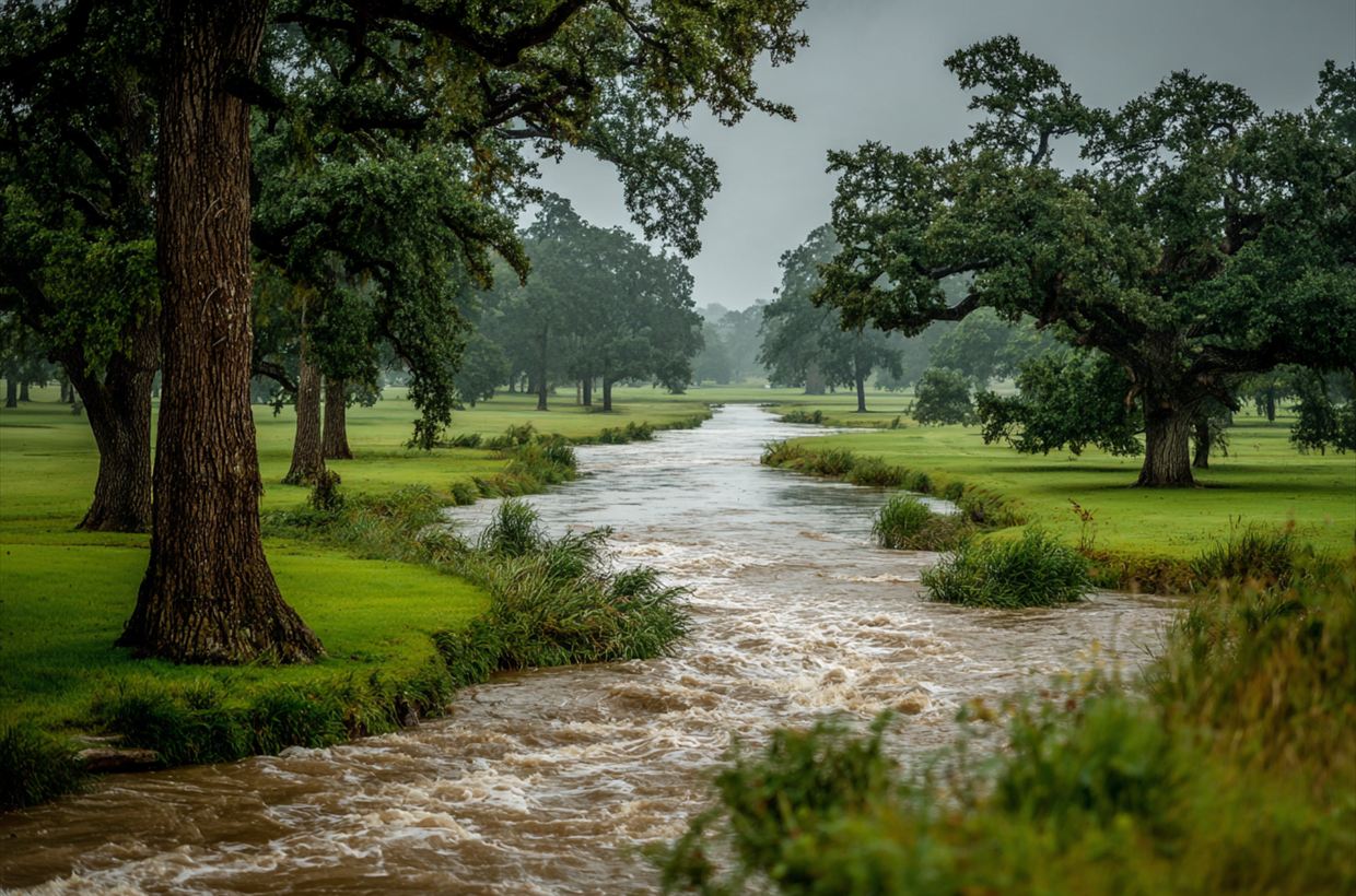
Harvey at Cedar Bayou: What Record Rain Did to Baytown
The storm that set a national rainfall record next door.
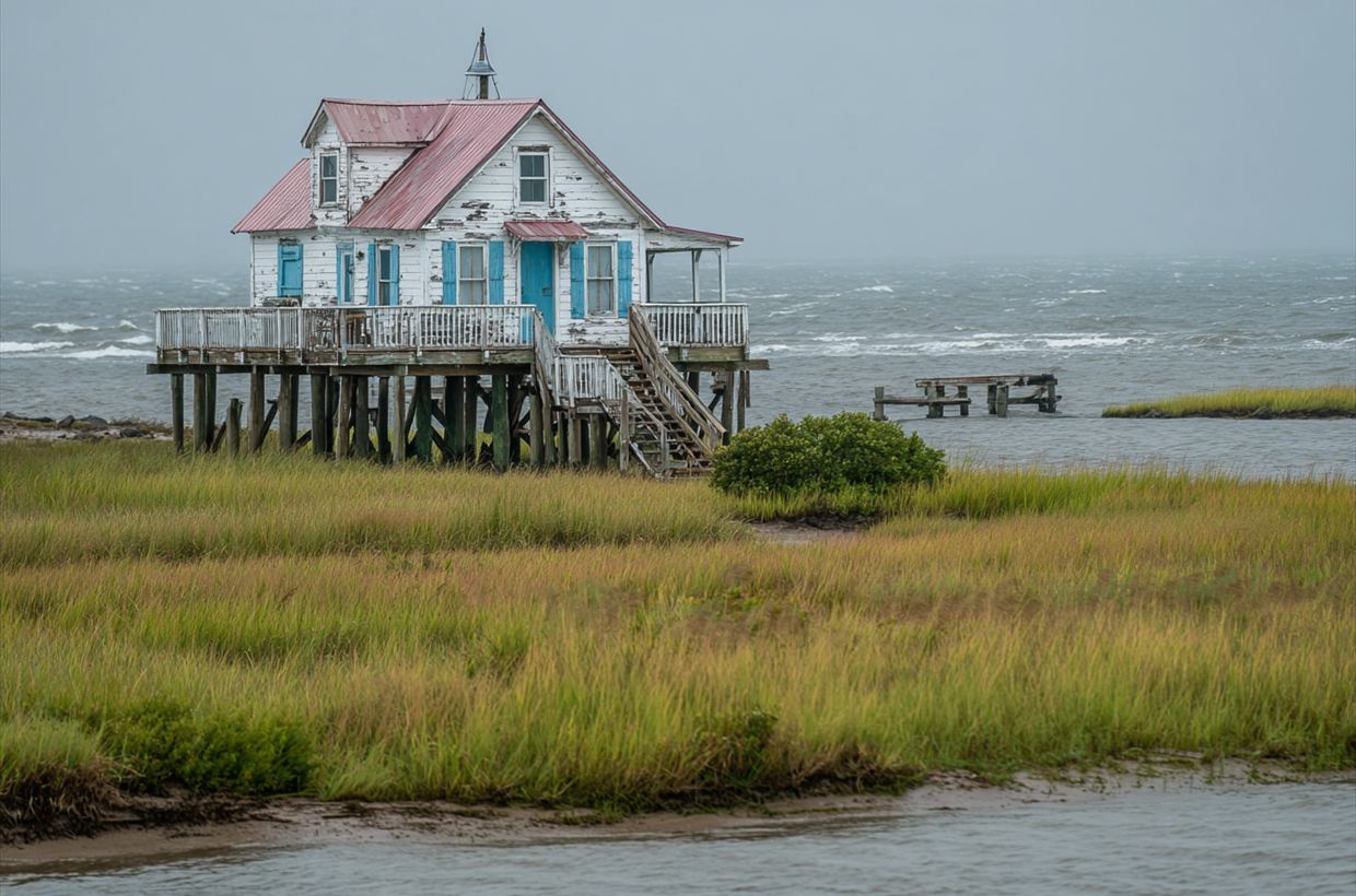
Raised Homes After a Flood: What Elevation Changes
Where water damage starts in a house on piers.